This is a misnomer because we were not on the Channel Islands today but it was just clear enough for us to see one from the coast. The day started out nicely because we got to sleep in a bit. Our hotel was right along the harbor and the salt-sea air and mist were refreshing to wake up to.

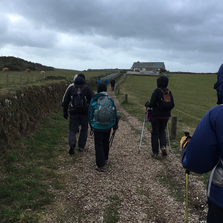
Our group convened at 11 am and headed out of Carteret to La Hague, the Contentin Penninsula’s westernmost point. First, we arrived in Jobourg for lunch and admired the small church in the middle of town.

Then we walked across the street to the La Bruyere Restaurant, a tiny cottage in the middle of nowhere with excellent food.

Once again we had a decadent dessert right before we were supposed to start hiking. It was a combo of chocolate, raspberries, and ice cream.

Our hike was on the well-marked La Hague Coastal Trail, also known as GR223. The GR223 is over 400K or about 240 miles in length. It extends from Honfleur to Mont Saint Michel. We did five of those miles today. Probably the best ones.
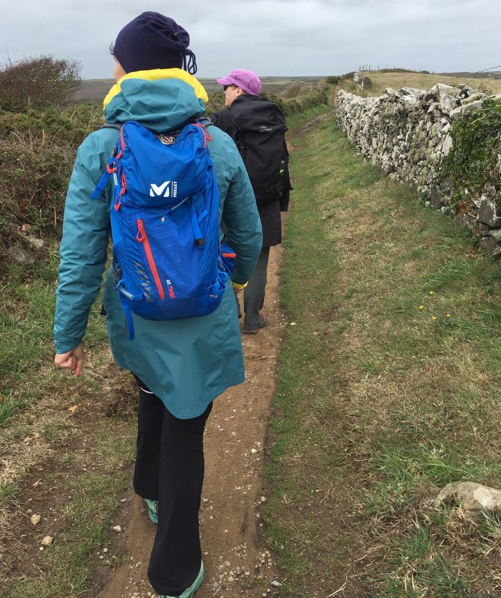
And we had beautiful coastal views.

Through the mist we could just catch a glimpse of the British Isle of Alderney, the closest Channel Island to France.

I was hoping to see Guernsey because of having read The Guernsey Literary and Potato Peel Pie Society, but too much haze today. The Channel Islands were once French ruled but later came under the rule of England. Today, it seems nobody cares about them much although 150,000 people live on the five islands. Technically, they are under the control of the Duke of Normandy who is also the ruler of England, thus, Queen Elizabeth II. Access to a mainland area is either by ferry or by plane from a small airport on Jersey or Guernsey. The islands also have their own currency; they don’t use the Euro. They were occupied by the Germans during World War II and Hitler was pleased to have what he considered a foothold in England. At one time there were 45,000 prisoners on the islands who came from throughout Europe. When D-Day occurred, the supply line from Germany to those prisoners was cut off. Everyone on the islands struggled to find food and stay alive for the year it took to get supplies to the islands on a regular basis. The Red Cross was apparently able to assist the islanders to some extent during this time.
We saw several stone fences along the hike today.
This signpost provided our location in case of emergency.

Further along the trail we had this view.

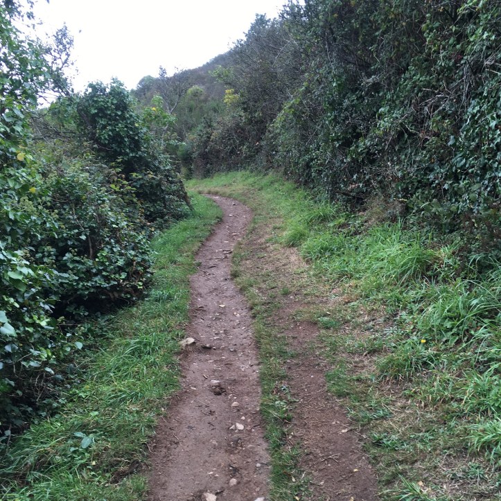
Heading back inland, our route goes through some greenery.

Then winds its way downward again. Sometime today I got a giant bug bite behind my ear that bothered me the rest of the trip. But I never noticed any real problem with bugs on this trip, unlike midges in Scotland, etc.
Continuing to go downhill, we met a couple of other hikers. There was also a glimpse of a lighthouse up ahead. This whole area feels a bit like Scotland, at least the misty weather did. We had rain jackets on, then off, then back on again.
 We stopped at an area where our guides pointed out this half-enclosed space dug into the hillside. Its purpose was to provide shelter for customs officers who formerly used this path to patrol along the coast for smugglers.

We did not see many people on this trail but we did see a few cows on a hillside above us.

And we saw this charming pig. We thought he must be a pet, a miniature something or other, even though he was in a pasture with three goats.

Near the water, we found a wall to sit on for a breather. The guides kept us on the move. We had maybe one or two stops for a couple of minutes over the 2 1/2 hours we walked today, but I think that was because they were watching the weather. It started to seriously rain when I was about ten feet from boarding our shuttle at the end of the hike.

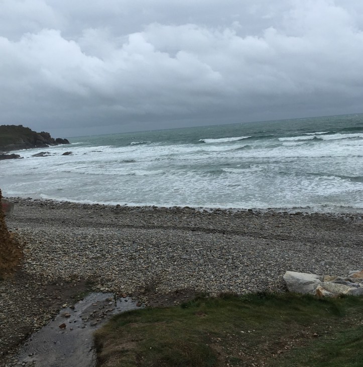
This was about as close to the water as we got today.
 A few minutes later, Ross headed uphill again.

And about five minutes later, I am going downhill minus the rain jacket. This was a wonderful scenic trail.
 Some of us stopped for a photo op. It’s windy.

Now we were climbing up again. Glad to have two hiking poles today.

We eventually saw the Phare de Goury, a lighthouse that was built in 1834 to warn of strong currents. Some of the strongest currents in Europe are here in the small harbor of Goury. A new automated lighthouse further along the coast has replaced this one.
 We began making our way into civilization passing by one of the few houses we saw, and this was mainly a summer vacation home.

Near the end of the hike, we were on a paved path.
 We passed by another stone fence and this one was covered by moss.

And at the end we saw the new automated lighthouse. It had just started to mist in earnest when we reached our destination of the Nez de Jobourg, or Cape de Jobourg.

Back at the hotel, we stopped downstairs in the lounge area. We were chilled after today’s hike but decided to go out to a local pub for dinner. We had fish and chips and Shepherds Pie in mind, but I knew we were in trouble when I saw steak tartare fixed three ways on the menu. So, no fish and chips today. But a great trail. Would have been my favorite of the week with a bit more sunshine and a warmer hat.

