O, happy day! Great hike! This morning we had sunshine but it was still long-sleeve weather when we left Saint-Malo. Our shuttle ride was only 20 minutes to the westernmost tip of the bay of St. Michel along the headland of Pointe du Grouin. We got off the small bus, grabbed our hiking poles, and began walking near a small church, Notre Dame du Verger.

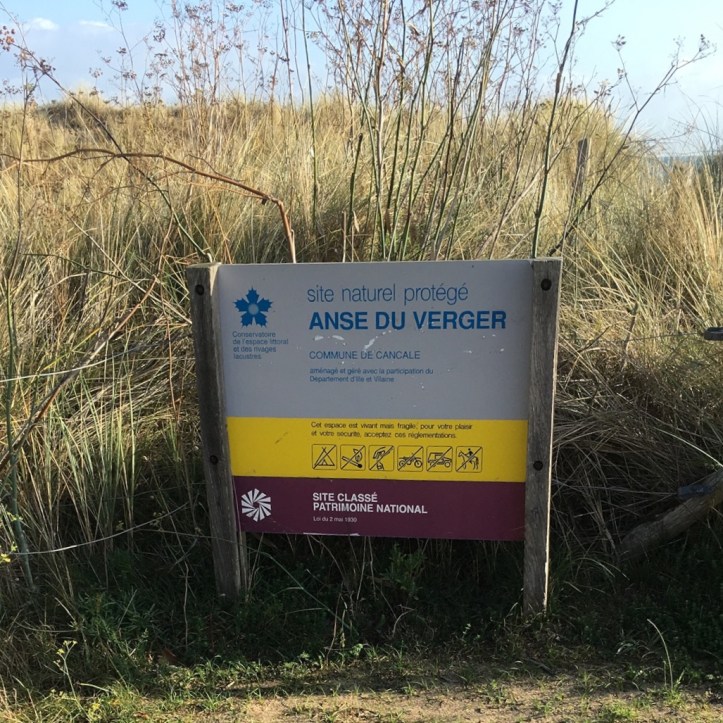
Our trailhead was in the area of Anse du Verger.
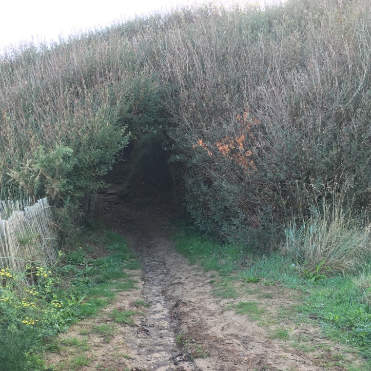
We had some sand to maneuver near the beginning of our trek which caused us to slip and slide a bit.

The path soon became more packed as we headed into this thicket.
We eventually came out along the bay.

Then we started climbing and it didn’t take long to realize this trail had a lot of ups and downs.

From above we looked down onto a nice beach.

We then headed inland again.

Back through the brush. This was quickly becoming one of my favorite trails of the trip. Probably because the sun was out and the wind was fairly calm. The attraction is really the exploring, the feeling of being a kid again.

Stopped to take a photo of Ross with our guides, Claire and Corinne.

We had a few little hills to go up but so much better than all the steps yesterday.

Going back downhill on a mostly dirt path.

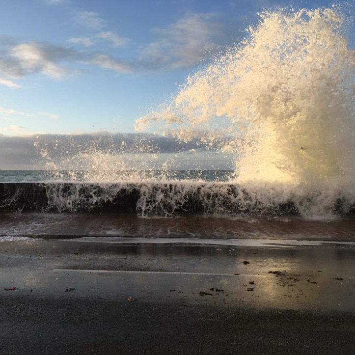
Another view of the water. The high tides were higher than usual because of the approaching equinox.

Another downhill covered with bracken.

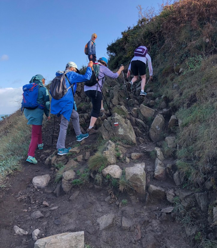
Uphill with rocks.
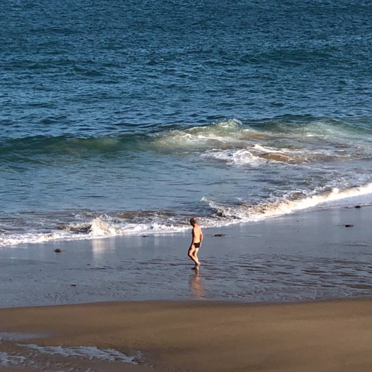
We paused to watch this guy to see if he would really go into the water. He did and it had to be extremely chilly. We saw no other swimmers.
This area was once notorious for French privateers as well as pirates, forcing English ships in the channel to pay for passage. Also, Jacques Cartier, who is said to have “discovered” Canada, sailed from the Saint-Malo area.

One more uphill with more rocks that needed to be navigated carefully. Sometimes we were very close to the cliff edge too.

Standing along the top of the hill.
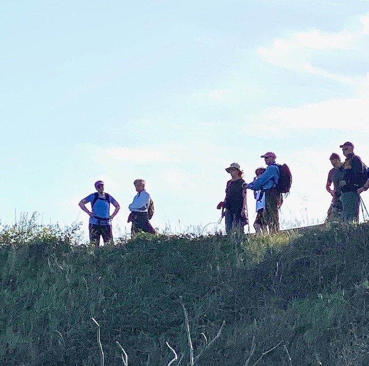
Nice view of our group on the trail.

After about two hours and four miles we arrived at Pointe du Grouin. This area is home to a bird sanctuary and a lighthouse, the latter which is between the rocks and way, way out on the horizon.

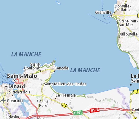
On this map, we were on the very tip above Cancale.
Ross found a place to empty sand out of his shoes.

Snack break for everyone.

From Pointe du Grouin, looking across the Bay of Saint-Michel. From here we might have had a glimpse of Mont Saint-Michel, 15 miles away, but too much haze today. Lots of small boats moored in the coves here.

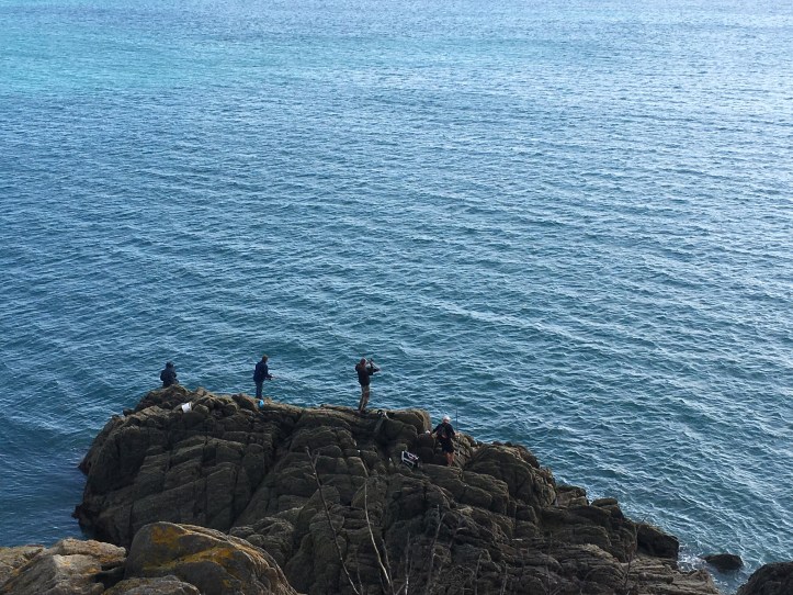
Several fishermen along the coast. This area is called the Emerald Coast because of the color of the sea here at certain times.
We continued hiking toward our lunch spot, about another 45 minutes.
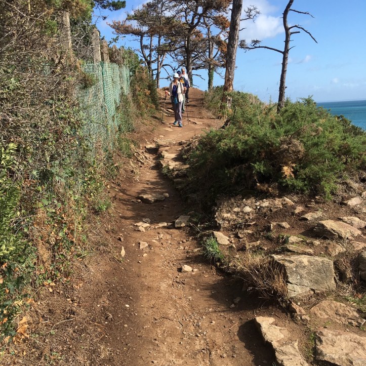
More dirt path.

We paused to check out a Nazi pillbox fortification complete with gun.

Then we had a bunch of very civilized steps taking us into the sandy cove of Port Mer.

Boats in the cove at Port Mer at low tide.

We had lunch in a restaurant that specialized in oysters as many along this coast do. I took a photo of my Breizh Cola Zero.

After lunch we boarded the shuttle for a short ride into Saint-Malo and to our hotel. Saint-Malo is a walled city, population of around 45,000, and has a history of piracy. The city was also heavily occupied during WWII and thus, was heavily bombed in 1944 by the Allies while under the control of the German army. It was rebuilt between 1948 and 1960. We had time to walk about town a bit and checked out the war memorials.

Also saw this church, Eglise Norte Dame.

Our hotel was just across the street from the water and sea wall. On the way to dinner, we saw more evidence of how high the tide was.
Our group dinner was in the Old Town section.

Dinner was at the Chateaubriand, named after the French writer Francois-René de Chateaubriand who was born in 1768 in Saint-Malo.

We had a nice view of the water for our group’s farewell dinner.

Great hike today along a coastal area with a lot of history. And just sad to have our hiking finished for this trip. Tomorrow we head to Paris with one more stop along the way.
