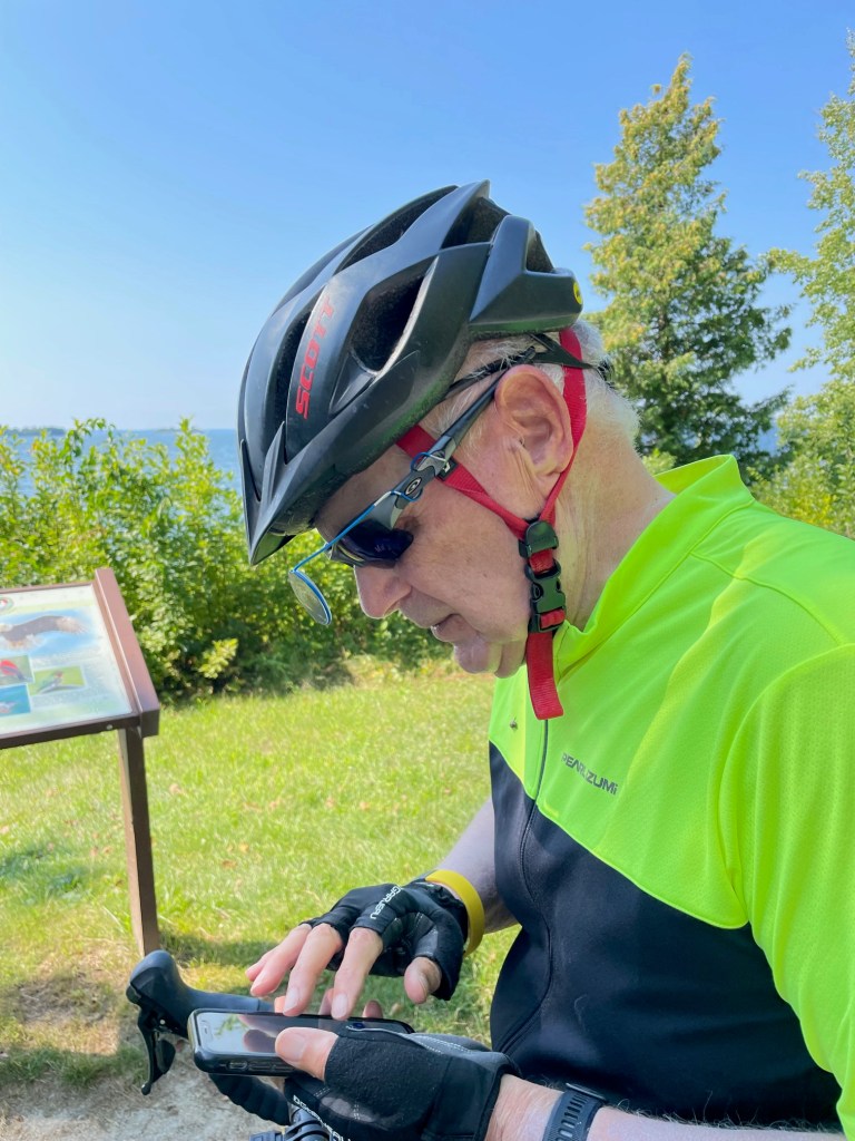
This morning we slept late after a fitful night of bad dreams and leg cramps. We ate in and finally headed out on our bikes at 1 pm which is later than we wanted to be underway.
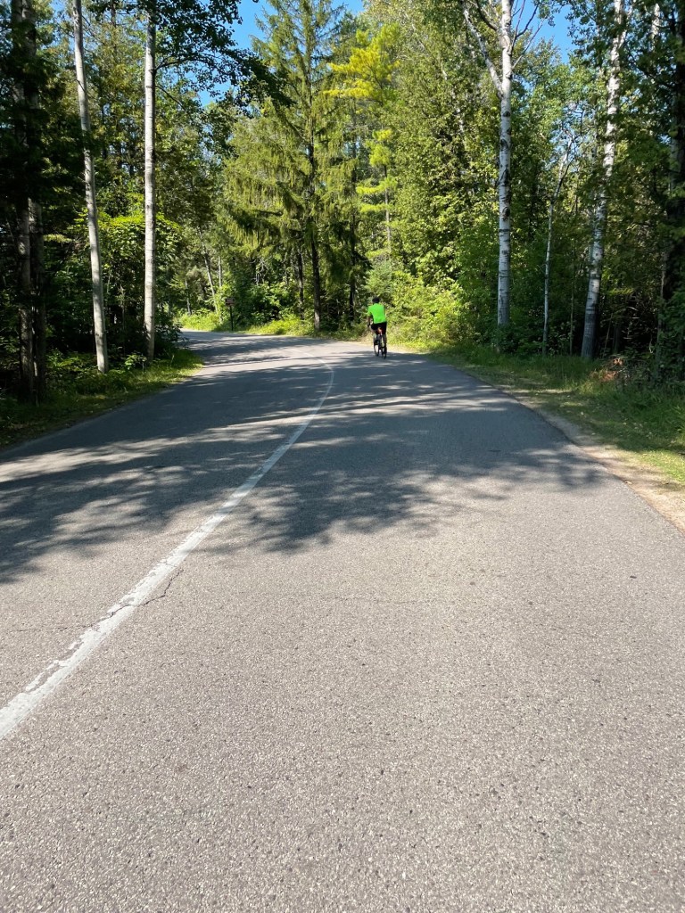
We planned to ride to Fish Creek and through Peninsula State Park and be back in a couple of hours but we ended up with a 30-mile ride and got back around 6 pm. Wind today was from the south at 8-9 miles an hour. We went north again following the same route as yesterday for about six miles – i.e., we took County Road F to Maple Grove – but then we turned left or west on Gibraltar Road. This road was a wonderfully smooth surface along which were some really nice houses.
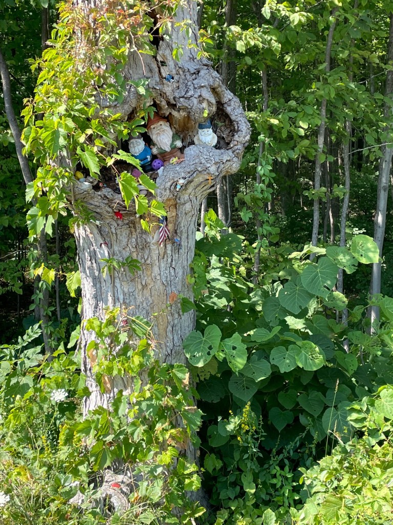
Gibraltar crosses County Road A and on the corner there we saw this tree.
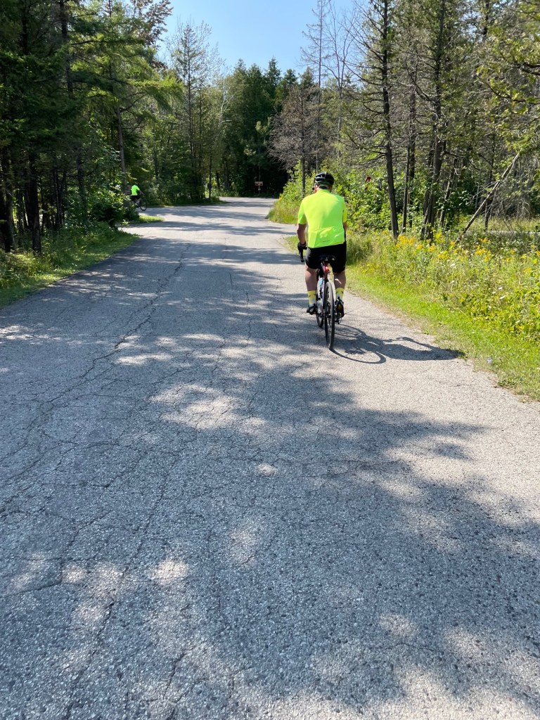
Gibraltar took us to State Route 42 in Fish Creek. After a quick stop at the bike shop, we rode into Peninsula State Park, a 3,700 acre park with several miles along the Green Bay shoreline. We saw a lot of those acres and miles today.
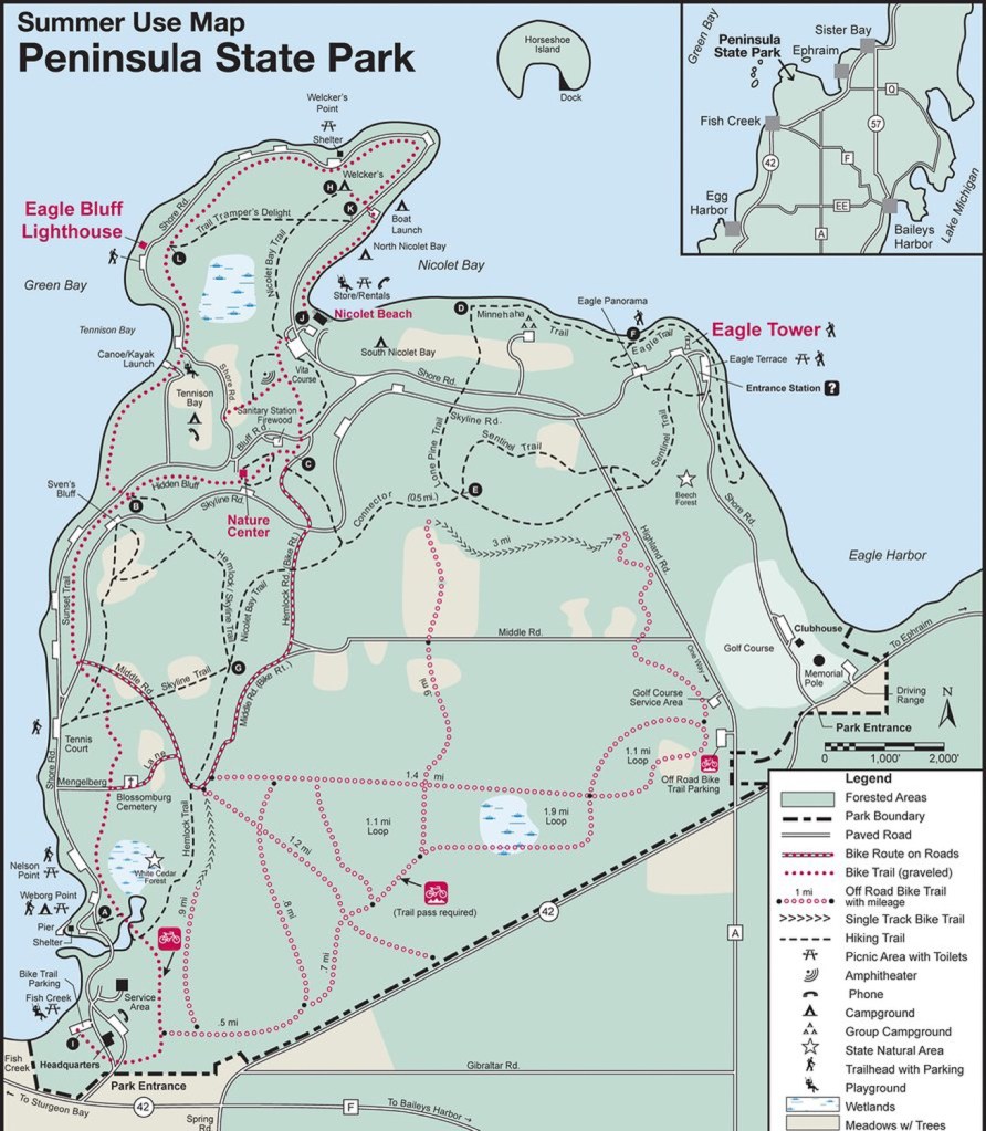
There is a ten-mile bike path in the park but we skipped that and rode on the Shore Road. This road intersects with Skyline Road by which we could get to Highland Road along the golf course and from there, out of the park. At least that was our plan. But be sure to check a map of the park roads if you don’t know where you are going. We didn’t and obviously we didn’t. We were here a few years ago and thought we knew our way through the park. Today, however, we spent an hour and a half just riding around the park not sure where we were, stopping and asking directions a few times, and riding at least five extra miles to get where we wanted to be. A couple of times we had to make decisions about whether to go left or right and a couple of times we made the wrong choices. It felt like we were riding in circles and might be stuck in the park after dark.
And the road was not good. Potholes and occasional sand made it hazardous for bicycles and we rode fast along the narrow shoulder of the road to avoid the potholes. That shoulder had some dandy drop offs as well as protruding tree limbs and so was problematic too.
To add to our frustration, there was a nasty 300-foot section of uphill on Shore Road just before it curves to go up to Eagle Tower. We were able to turn off in the middle of this nasty hill – what a relief – to head in the other direction on Skyline Road. Ross made it up. I just quit halfway and walked. It was super busy there too with bicyclists riding down as well as up, mopeds buzzing around, and cars going back and forth. The park is a busy place. Lots of campgrounds within it add to the busyness. Plus, the bike path crosses the main road in several places and creates additional traffic to dodge. All this is likely why we choose not to ride there often.
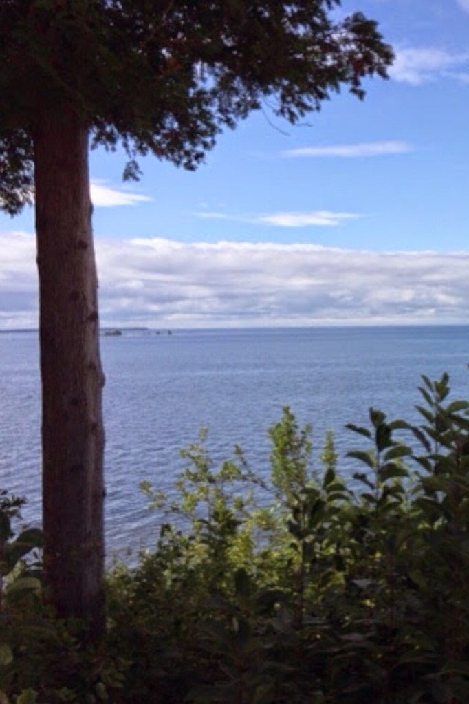
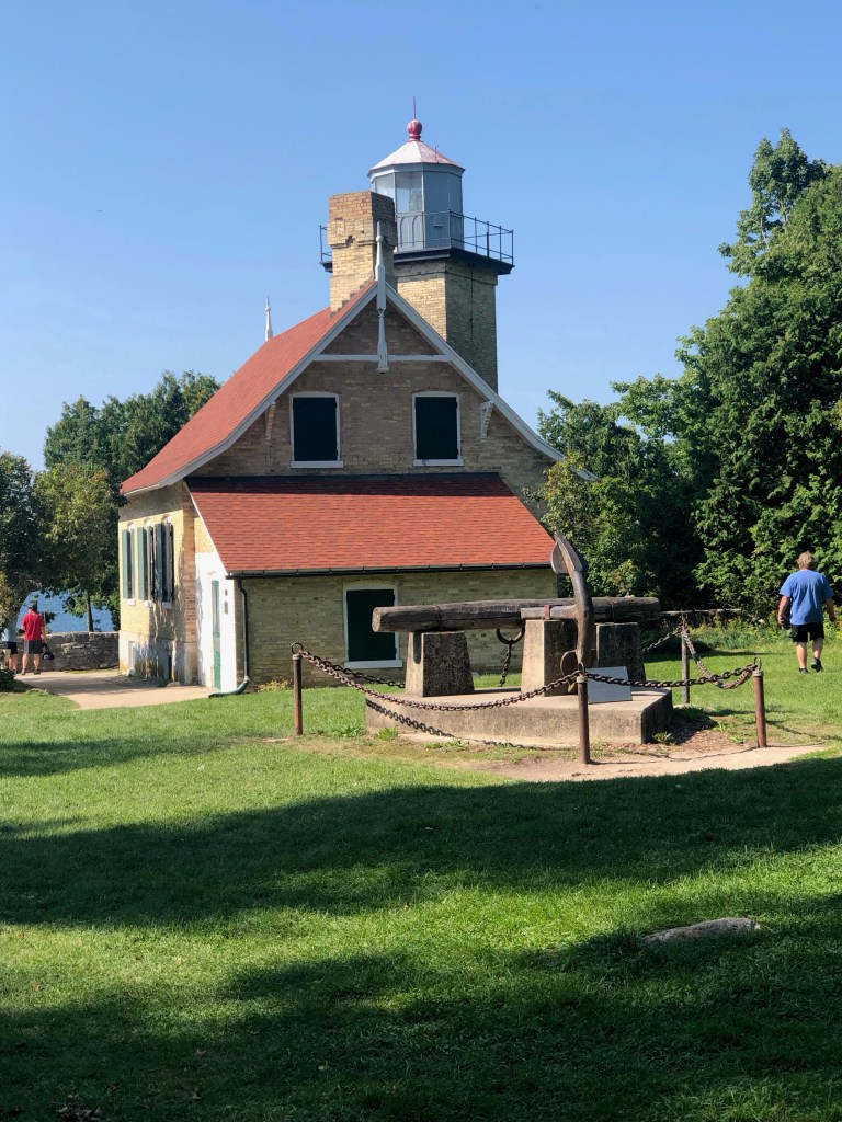
Along the way though, we did manage a few scenic stops. One such stop was at the Eagle Bluff Lighthouse.
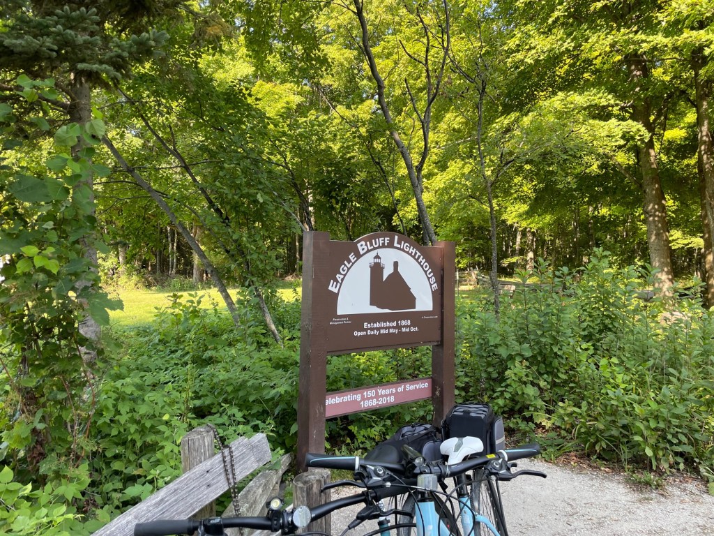
This was a manned lighthouse from the mid-1800s to 1926. Tours are provided but reservations for such are best.
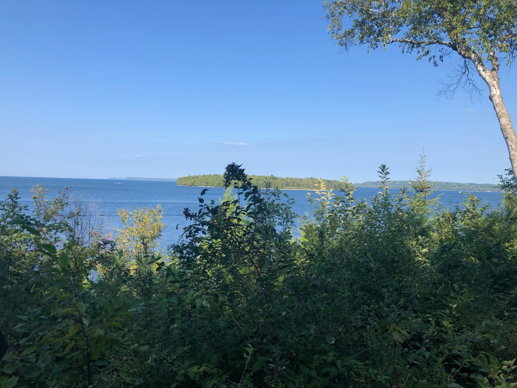
We stopped again near the top of the bluff with Chalmers Island in the background. It’s about seven miles out and can be reached by boat. There’s another deactivated lighthouse on the island but apparently no permanent residents.
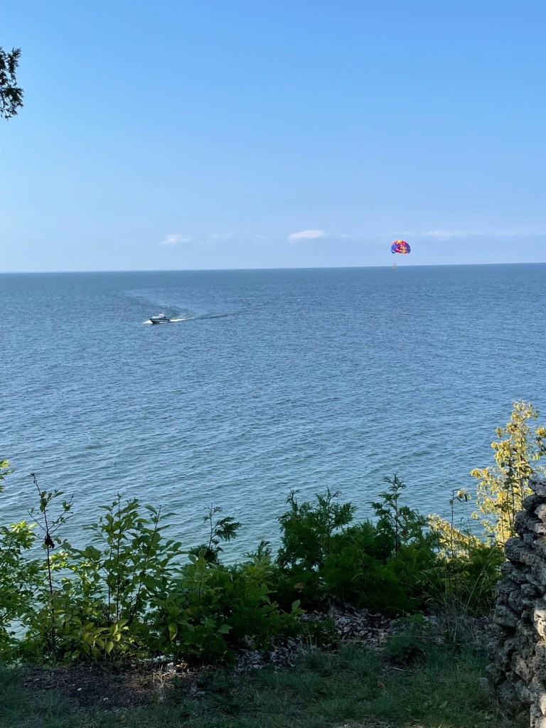
We also watched this para-sailor from that same spot.
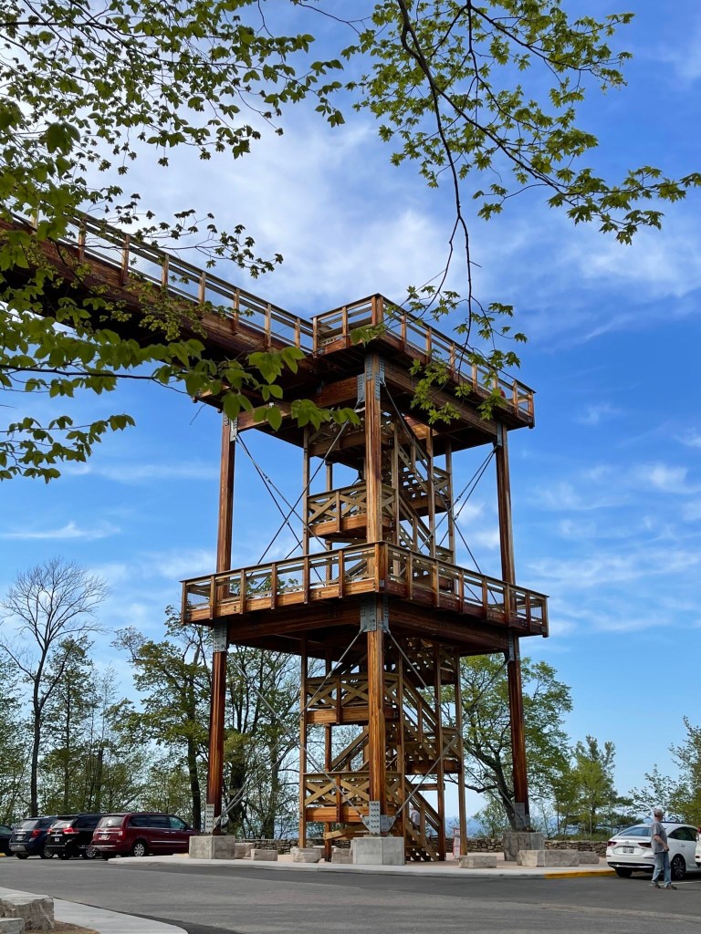
The aforementioned Eagle Tower is also one of several destination points for park enthusiasts. The tower was recently rebuilt after falling into disrepair and opened in July. You can either climb up or take the new canopy walk to the top for great views of the park and the bay. This might have helped us figure out where we needed to go.
We finally reached our rest stop on the golf course along Highland Road and bought a Coke, more water, and ate some crackers and peanut butter. At this point we had ridden 20 miles which should not be a big deal but it was a tough ride and our oatmeal breakfast energy was long gone. We had lots of stops and starts which can be more wearing to me than just continuous riding.
After a 15-minute rest, we headed back to Bailey’s Harbor the same way as yesterday, taking County Road A out of the park to the other Highland Road, then back to County Road F and into town.
Once again we had the “little fierce one” to deal with on Highland Road and today, tired as I was, I actually went up it without stopping to take a breather. Go figure.
We were tired and dirty but got cleaned up for dinner at the new Clover and Zot also in Bailey’s Harbor. Clover and Zot is a small plate restaurant and just opened this year, another welcome addition.
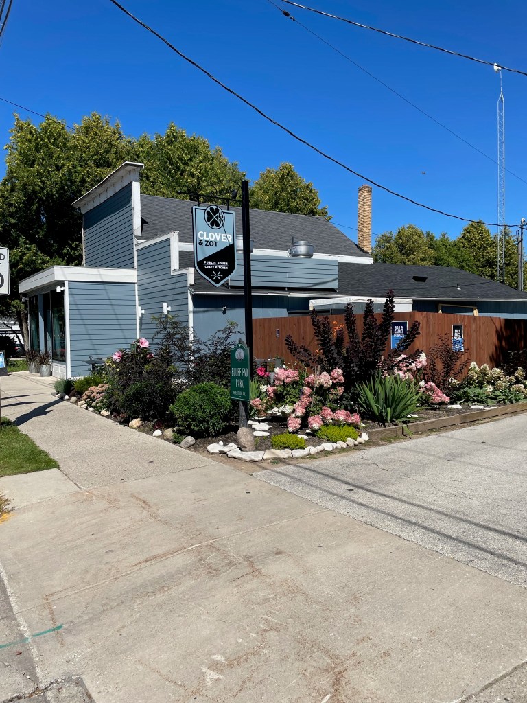
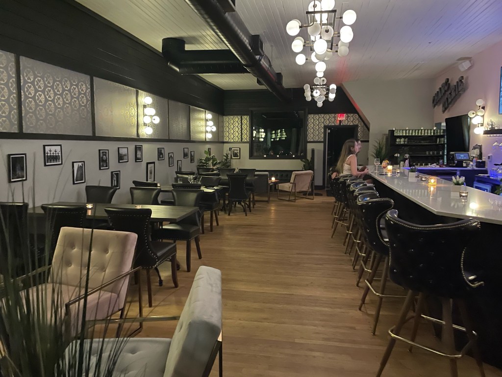
We arrived about 7:30 – they take no reservations – and ate inside which was plenty airy and very comfortable. This was a Monday night so maybe not as much business as on weekends.
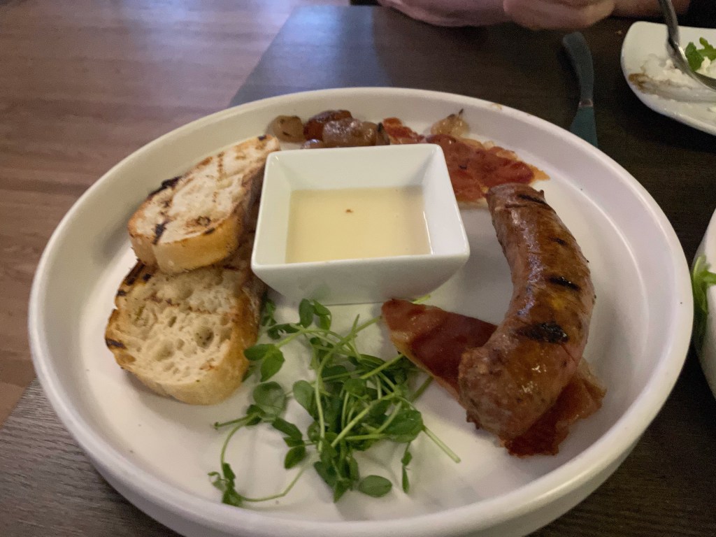
It was nearly empty inside when we left but the outside tables were all occupied. We would definitely go back here. It was very comfortable too and maybe because we had a long bike ride today, any place with padded chairs would have seemed cozy.
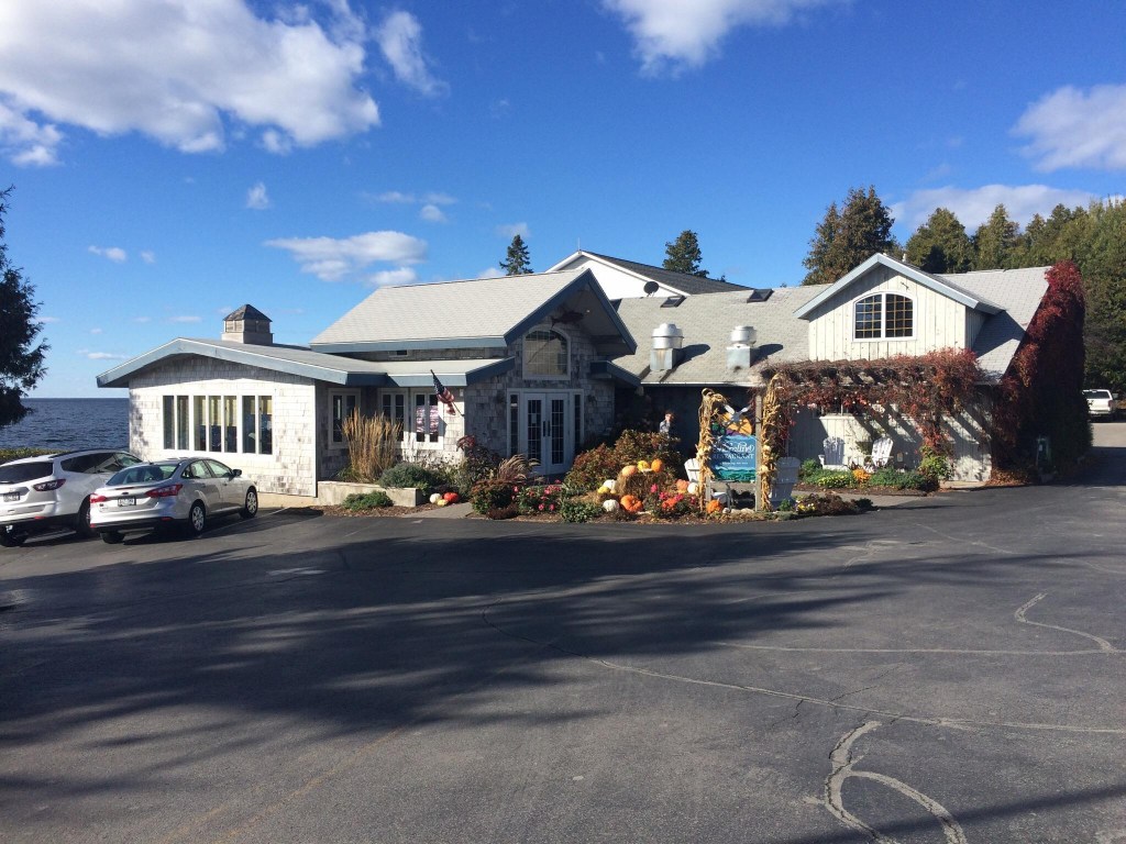
Another restaurant we might have gone to tonight – if we had finished our ride sooner – is the Shoreline Restaurant in Gill’s Rock. We like their seafood options as well as the ambience. Gill’s Rock is just about as far north as you can go on the peninsula.
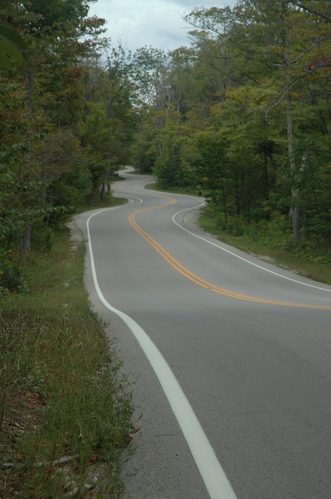
You can, however, continue driving another mile and a half past the Shoreline and you will reach this part of Route 42. It’s called the “winding road” or the Northport Road and goes to Northport where the ferry to Washington Island docks. The road was supposedly designed this way to make travelers slow down and enjoy nature. It’s oft-photographed in all seasons.
The area between Washington Island and the end of the peninsula is called Death’s Door or originally in French, Porte des Morts. This is the strait linking Green Bay and Lake Michigan where the water is treacherous and was responsible for at least 275 shipwrecks during the last half of the 19th century. The county derived its name from this area of water. Today’s modern boats can navigate the area more safely.
On a more pleasant note, if we had gone to the Shoreline Restaurant, we likely would have left early enough to stop and buy granola at Kick Ash Coffee in Ellison Bay on our way.

And here’s the map we needed today.